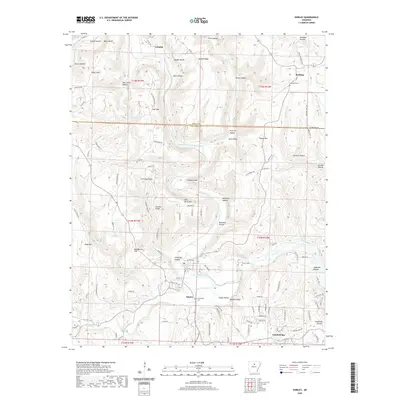
2020 Map of Shirley
USGS Topo · Published 2020About this map
The Middle Fork Little Red River carves a deep path through the Ozark foothills, defining the settlement patterns of central Arkansas. Near the town of Shirley, the landscape is a maze of named hollows and ridges, from Bat Cave Hollow to Buffalo Hump. Family history is preserved in several small burial grounds across the quadrangle, including the Settlement Cem, Collins Cem, and the high-elevation Lute Cem on the slopes of Lute Mtn. To the south, the planned community of Fairfield Bay borders the water, contrasting with the older, dispersed rural outposts like Rushing and Lydalisk. The intricate naming of landmarks like John Henry Mtn and Chimney Rocks suggests a deeply rooted local geography where every spur and bluff, such as Harper Bluffs and Moon Bluffs, was identified and known to the residents of the Stone and Van Buren county line.
Find a feature on this map
119 named features on this map. Tap any name to fly to it.
Don’t see what you’re looking for? This feature index may not catch every label — zoom into the map to look around manually.
Map Details
Editions of this 2020 Shirley Map
This is the sole edition of this map. No revisions or reprints were ever made.
Other maps of this area

1892 · Mountain View
USGS Topo · 1:125,000

1894 · Mountain View
USGS Topo · 1:125,000

1956 · Russellville
USGS Topo · 1:250,000

1964 · Russellville
USGS Topo · 1:250,000

1969 · Mountain View SW
USGS Topo · 1:24,000
1969 · Fox
USGS Topo · 1:24,000
1973 · Fairfield Bay
USGS Topo · 1:24,000
1973 · Greers Ferry
USGS Topo · 1:24,000
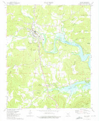
1973 · Clinton
USGS Topo · 1:24,000
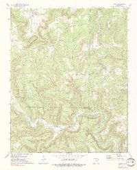
1973 · Oxley
USGS Topo · 1:24,000