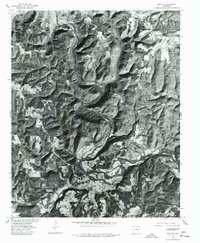
1976 Map of Shirley
USGS Topo · Published 1977About this map
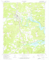
The Middle Fork Little Red River carves a winding path through the timbered hills of Van Buren County, anchoring the small community of Shirley near its banks. This 1976 orthophotoquad, produced by the Geological Survey in cooperation with the Soil Conservation Service, uses aerial photography to show the exact land-use patterns of the mid-1970s. The image reveals a landscape defined by sharp elevation changes and deep valleys, where small clearings and homesteads like Rushing are scattered along the ridgelines and creek bottoms. For the local historian, the photographic nature of this map provides a distinct view of the road network and field boundaries as they existed just before the turn of the century, documenting the footprint of these Ozark foothills settlements at a precise moment in time.
Find a feature on this map
3 named features on this map. Tap any name to fly to it.
Don’t see what you’re looking for? This feature index may not catch every label — zoom into the map to look around manually.
Map Details
Editions of this 1976 Shirley Map
This is the sole edition of this map. No revisions or reprints were ever made.
Other maps of this area

1892 · Mountain View
USGS Topo · 1:125,000

1894 · Mountain View
USGS Topo · 1:125,000

1956 · Russellville
USGS Topo · 1:250,000

1964 · Russellville
USGS Topo · 1:250,000

1969 · Mountain View SW
USGS Topo · 1:24,000
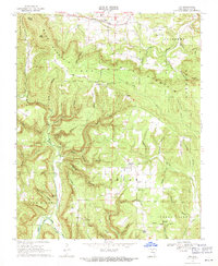
1969 · Fox
USGS Topo · 1:24,000
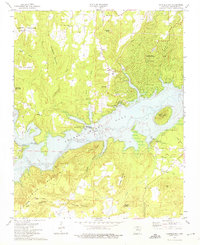
1973 · Fairfield Bay
USGS Topo · 1:24,000
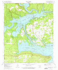
1973 · Greers Ferry
USGS Topo · 1:24,000
1973 · Clinton
USGS Topo · 1:24,000
1973 · Oxley
USGS Topo · 1:24,000