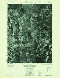
1955 Map of Shirley
USGS Topo · Published 1955About this map
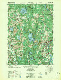
Fort Devens Military Reservation dominates the southeastern corner of this mid-century aerial survey, marking a period of intense activity for the installation along the Nashua River. This mosaic photo map reveals a landscape defined by the transition from rural farming hills to industrial and military infrastructure. Settlements like Shirley Center and Goodrichville are surrounded by prominent elevations including Deacon Hill and Benjamin Hill, while the Boston and Maine Railroad and Maine Central Railroad provide the primary transit corridors through the drainage of Catacoonamug Brook. Notable social landmarks include the Industrial School and the Country Club, appearing alongside numerous small water bodies such as Leatherboard Pond and Massapoag Pond. The intricate patterns of orchards and woodlots are clearly visible between the Middlesex and Worcester County lines.
Find a feature on this map
66 named features on this map. Tap any name to fly to it.
Don’t see what you’re looking for? This feature index may not catch every label — zoom into the map to look around manually.
Map Details
Editions of this 1955 Shirley Map
2 editions found
Other maps of this area

1885 · Worcester
USGS Topo · 1:62,500

1886 · Worcester
USGS Topo · 1:62,500

1887 · Marlboro
USGS Topo · 1:62,500

1887 · Fitchburg
USGS Topo · 1:62,500

1889 · Marlboro
USGS Topo · 1:62,500

1889 · Fitchburg
USGS Topo · 1:62,500

1892 · Worcester
USGS Topo · 1:62,500

1893 · Fitchburg
USGS Topo · 1:62,500

1893 · Groton
USGS Topo · 1:62,500

1896 · Marlboro
USGS Topo · 1:62,500