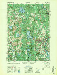
1955 Map of Shirley
USGS Topo · Published 1955About this map
The Nashua River and the Boston and Maine Railroad define the industrial and military geography of central Massachusetts on this mid-century survey. The landscape is dominated by the Fort Devens Military Reservation, which includes extensive training grounds like the Sheridan Rifle Range and Stamp Range, alongside the Lovell Gen Hospital. These military installations are positioned adjacent to the town centers of Shirley and Leominster, highlighting the region's strategic importance during the early Cold War era.
Find a feature on this map
73 named features on this map. Tap any name to fly to it.
Don’t see what you’re looking for? This feature index may not catch every label — zoom into the map to look around manually.
Map Details
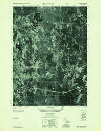
Editions of this 1955 Shirley Map
2 editions found
Other maps of this area

1885 · Worcester
USGS Topo · 1:62,500

1886 · Worcester
USGS Topo · 1:62,500

1887 · Marlboro
USGS Topo · 1:62,500

1887 · Fitchburg
USGS Topo · 1:62,500

1889 · Marlboro
USGS Topo · 1:62,500

1889 · Fitchburg
USGS Topo · 1:62,500

1892 · Worcester
USGS Topo · 1:62,500

1893 · Fitchburg
USGS Topo · 1:62,500

1893 · Groton
USGS Topo · 1:62,500

1896 · Marlboro
USGS Topo · 1:62,500