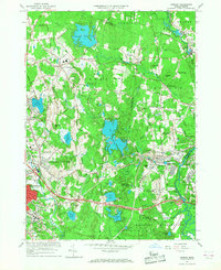
1965 Map of Shirley
USGS Topo · Published 1968About this map
Fort Devens Military Reservation anchors the southeastern landscape of this mid-1960s study, where the Nashua River winds through a terrain shaped by post-war institutional expansion and recreation. The Shirley village center sits at the junction of the Boston and Maine railroad, while further west, the suburban growth of Leominster and Lunenburg is evident near Lake Whalom, which features an Amusement Park and Marshall Park.
Find a feature on this map
98 named features on this map. Tap any name to fly to it.
Don’t see what you’re looking for? This feature index may not catch every label — zoom into the map to look around manually.
Map Details
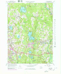
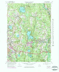
Editions of this 1965 Shirley Map
Other maps of this area

1885 · Worcester
USGS Topo · 1:62,500

1886 · Worcester
USGS Topo · 1:62,500

1887 · Marlboro
USGS Topo · 1:62,500

1887 · Fitchburg
USGS Topo · 1:62,500

1889 · Marlboro
USGS Topo · 1:62,500

1889 · Fitchburg
USGS Topo · 1:62,500

1892 · Worcester
USGS Topo · 1:62,500

1893 · Fitchburg
USGS Topo · 1:62,500

1893 · Groton
USGS Topo · 1:62,500

1896 · Marlboro
USGS Topo · 1:62,500