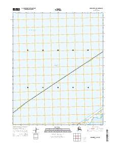
2014 Map of Shishmaref A-4 NE
USGS Topo · Published 2014About this map
Chukchi Sea waters dominate this coastal survey of the Seward Peninsula’s northern edge. The map focuses on the interface between the Arctic Ocean and the protected lands of the Bering Land Bridge National Preserve, which occupies the southeastern corner of the quadrangle. This area represents a critical landscape of the Nome Census Area, where the coastline is defined by the shallow waters of the Arctic Lagoon. The lack of inland settlements or structures highlights the remote nature of this arctic environment, primarily used for subsistence and conservation. The boundary lines for township and range, including t9n r37w and t8n r37w, provide the only terrestrial grid over this largely aquatic and coastal expanse.
Find a feature on this map
8 named features on this map. Tap any name to fly to it.
Don’t see what you’re looking for? This feature index may not catch every label — zoom into the map to look around manually.
Map Details
Editions of this 2014 Shishmaref A-4 NE Map
This is the sole edition of this map. No revisions or reprints were ever made.
Other maps of this area

1950 · Shishmaref
USGS Topo · 1:250,000
1950 · Shishmaref A-4
USGS Topo · 1:63,360

1950 · Shishmaref A-3
USGS Topo · 1:63,360
1950 · Shishmaref B-3
USGS Topo · 1:63,360

1951 · Shishmaref
USGS Topo · 1:250,000
2014 · Shishmaref A-4 SW
USGS Topo · 1:25,000
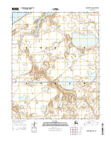
2014 · Shishmaref A-3 SW
USGS Topo · 1:25,000
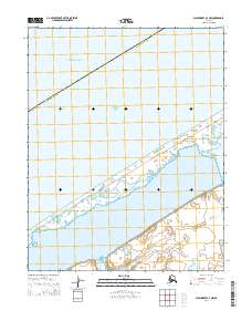
2014 · Shishmaref A-3 NW
USGS Topo · 1:25,000
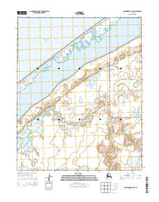
2014 · Shishmaref A-4 SE
USGS Topo · 1:25,000