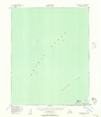
1950 Map of Shishmaref B-3
USGS Topo · Published 1957About this map
Sarichef Island sits at the edge of the Arctic Ocean, anchoring this coastal 1950 survey of the Seward Peninsula shoreline. The village of Shishmaref is positioned on the island's narrow reach, accompanied by essential maritime and aviation infrastructure including a Light and a Landing Strip. The map illustrates the tenuous nature of settlement along the Chukchi Sea, where a terrestrial Winter Trail provides a overland connection near the shores of Shishmaref Inlet.
Find a feature on this map
9 named features on this map. Tap any name to fly to it.
Don’t see what you’re looking for? This feature index may not catch every label — zoom into the map to look around manually.
Map Details
Editions of this 1950 Shishmaref B-3 Map
2 editions found
Other maps of this area

1950 · Shishmaref
USGS Topo · 1:250,000

1950 · Shishmaref A-2
USGS Topo · 1:63,360
1950 · Shishmaref A-4
USGS Topo · 1:63,360
1950 · Shishmaref B-2
USGS Topo · 1:63,360

1950 · Shishmaref A-3
USGS Topo · 1:63,360

1951 · Shishmaref
USGS Topo · 1:250,000
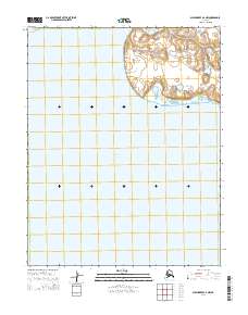
2014 · Shishmaref A-2 NW
USGS Topo · 1:25,000
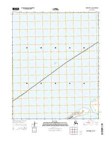
2014 · Shishmaref B-3 SE
USGS Topo · 1:25,000
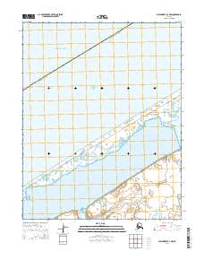
2014 · Shishmaref A-3 NW
USGS Topo · 1:25,000
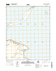
2014 · Shishmaref A-3 NE
USGS Topo · 1:25,000