
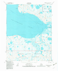
1950 Map of Shishmaref A-2
USGS Topo · Published 1957About this map
Shishmaref Inlet dominates this coastal landscape on the northern Seward Peninsula, where the Serpentine River and Arctic River empty into the tidal waters. The topography, mapped from aerial photographs taken between 1949 and 1950, reveals a complex network of wetlands and tundra ponds surrounding the Sanaguich River and Bunker Creek. Small clusters of Cabins along the southern shore indicate seasonal subsistence sites or remote outposts in an area otherwise defined by its natural drainage patterns. The prominent Cape Lowenstern marks the northern entrance to the inlet, while a Winter Trail provides a tenuous overland connection across the frozen terrain, reflecting the seasonal nature of travel in this subarctic environment before modern infrastructure.
Find a feature on this map
8 named features on this map. Tap any name to fly to it.
Don’t see what you’re looking for? This feature index may not catch every label — zoom into the map to look around manually.
Map Details
Editions of this 1950 Shishmaref A-2 Map
2 editions found
Other maps of this area

1950 · Teller
USGS Topo · 1:250,000

1950 · Shishmaref
USGS Topo · 1:250,000

1950 · Shishmaref A-1
USGS Topo · 1:63,360

1950 · Teller D-2
USGS Topo · 1:63,360

1950 · Teller D-3
USGS Topo · 1:63,360

1950 · Shishmaref B-1
USGS Topo · 1:63,360
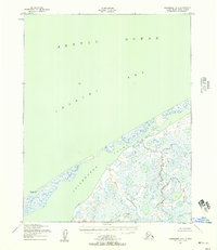
1950 · Shishmaref B-2
USGS Topo · 1:63,360

1950 · Shishmaref A-3
USGS Topo · 1:63,360

1950 · Teller D-1
USGS Topo · 1:63,360
1950 · Shishmaref B-3
USGS Topo · 1:63,360