
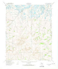
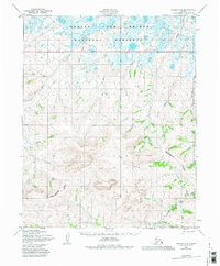
1950 Map of Teller D-2
USGS Topo · Published 1957About this map
Winter Trail (Approximate Alignment) cuts a north-south path through this remote Seward Peninsula landscape, providing a vital connection across the drainages of the Arctic River and Sanaguich River. Surveyed by the Army Map Service and the Geological Survey in the mid-twentieth century, the terrain is defined by its network of gold-rush era named waterways. The names here, including Nugget Creek, Bonanza Creek, and Eldorado Creek, reflect the persistent prospecting history that shaped the nomenclature of the Alaska Territory. The map documents the intricate hydrology where upland creeks like Fox Creek and Bluff Creek feed into the larger river systems, illustrating a landscape where travel was historically dictated by seasonal freeze and thaw cycles rather than established roads.
Find a feature on this map
15 named features on this map. Tap any name to fly to it.
Don’t see what you’re looking for? This feature index may not catch every label — zoom into the map to look around manually.
Map Details
Editions of this 1950 Teller D-2 Map
3 editions found
Other maps of this area

1950 · Teller
USGS Topo · 1:250,000

1950 · Shishmaref
USGS Topo · 1:250,000

1950 · Teller C-3
USGS Topo · 1:63,360

1950 · Shishmaref A-1
USGS Topo · 1:63,360

1950 · Teller D-3
USGS Topo · 1:63,360

1950 · Shishmaref A-2
USGS Topo · 1:63,360

1950 · Teller C-2
USGS Topo · 1:63,360

1950 · Shishmaref A-3
USGS Topo · 1:63,360

1950 · Teller D-1
USGS Topo · 1:63,360
1950 · Teller C-1
USGS Topo · 1:63,360