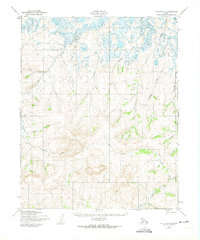
1950 Map of Teller D-2
USGS Topo · Published 1974About this map
The Sanaguich River and its complex network of northern tributaries define this portion of the Seward Peninsula as it was surveyed just after the mid-century. The landscape is marked by a distinctive contrast between the low-lying, marshy wetlands to the north and the increasingly elevated topography to the south. A single Winter Trail cuts through the southeastern corner, indicating the seasonal nature of overland movement in this subarctic environment before modern infrastructure was established.
Find a feature on this map
13 named features on this map. Tap any name to fly to it.
Don’t see what you’re looking for? This feature index may not catch every label — zoom into the map to look around manually.
Map Details
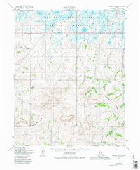
Editions of this 1950 Teller D-2 Map
3 editions found
Other maps of this area

1950 · Teller
USGS Topo · 1:250,000

1950 · Shishmaref
USGS Topo · 1:250,000

1950 · Teller C-3
USGS Topo · 1:63,360

1950 · Shishmaref A-1
USGS Topo · 1:63,360

1950 · Teller D-2
USGS Topo · 1:63,360

1950 · Teller D-3
USGS Topo · 1:63,360

1950 · Shishmaref A-2
USGS Topo · 1:63,360

1950 · Teller C-2
USGS Topo · 1:63,360

1950 · Shishmaref A-3
USGS Topo · 1:63,360

1950 · Teller D-1
USGS Topo · 1:63,360