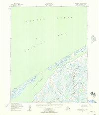
1950 Map of Shishmaref B-2
USGS Topo · Published 1957About this map
The coastal waters of the Arctic Ocean and the Chukchi Sea dominate this 1950 survey, which focuses on the intricate interface between the open sea and the protected Shishmaref Inlet. The landscape is defined by a low-lying barrier system and a marshy, lake-dotted interior characteristic of the Seward Peninsula's northern reaches. Grounded by surveying markers such as Shishmaref West Base and geodetic points like Narrow, the map reveals a wilderness shaped by shifting sands and seasonal freeze. Without roads or permanent settlements recorded on this sheet, the map serves as a primary record of the natural coastline before modern environmental changes, highlighting the topographical nuances of the shoreline and the numerous unnamed lagoons that permeate the tundra behind the inlet.
Find a feature on this map
9 named features on this map. Tap any name to fly to it.
Don’t see what you’re looking for? This feature index may not catch every label — zoom into the map to look around manually.
Map Details
Editions of this 1950 Shishmaref B-2 Map
2 editions found
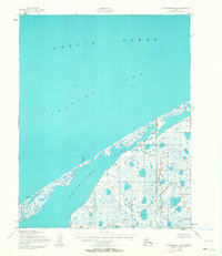
Other maps of this area

1950 · Shishmaref
USGS Topo · 1:250,000

1950 · Shishmaref A-1
USGS Topo · 1:63,360

1950 · Shishmaref B-1
USGS Topo · 1:63,360

1950 · Shishmaref A-2
USGS Topo · 1:63,360

1950 · Shishmaref A-3
USGS Topo · 1:63,360
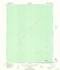
1950 · Shishmaref B-3
USGS Topo · 1:63,360

1951 · Shishmaref
USGS Topo · 1:250,000
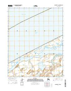
2014 · Shishmaref B-1 NW
USGS Topo · 1:25,000
2014 · Shishmaref A-2 NW
USGS Topo · 1:25,000
2014 · Shishmaref A-1 NW
USGS Topo · 1:25,000