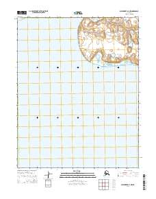
2014 Map of Shishmaref A-2 NW
USGS Topo · Published 2014About this map
Shishmaref Inlet dominates this coastal survey, where the saltwater reaches inland across the Seward Peninsula. The landscape is defined by the transition from the protected waters of the inlet to the elevated terrain near Cape Lowenstern. A singular overland route, Lane River Road, traverses the northern portion of the quadrangle, suggesting the sparse, purpose-driven infrastructure of this remote region. The map provides a clear look at the hydraulic and topographic layout of the area as it was recorded in the early 21st century, documented by the U.S. Geological Survey in coordination with the Alaska Department of Transportation. This record is particularly valuable for understanding the shoreline and terrain of the Shishmaref area before further modern environmental shifts.
Find a feature on this map
9 named features on this map. Tap any name to fly to it.
Don’t see what you’re looking for? This feature index may not catch every label — zoom into the map to look around manually.
Map Details
Editions of this 2014 Shishmaref A-2 NW Map
This is the sole edition of this map. No revisions or reprints were ever made.
Other maps of this area

1950 · Shishmaref
USGS Topo · 1:250,000

1950 · Shishmaref A-2
USGS Topo · 1:63,360
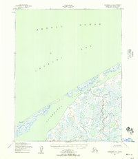
1950 · Shishmaref B-2
USGS Topo · 1:63,360

1950 · Shishmaref A-3
USGS Topo · 1:63,360
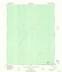
1950 · Shishmaref B-3
USGS Topo · 1:63,360

1951 · Shishmaref
USGS Topo · 1:250,000
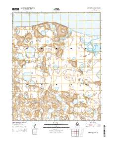
2014 · Shishmaref A-2 SW
USGS Topo · 1:25,000
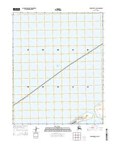
2014 · Shishmaref B-3 SE
USGS Topo · 1:25,000
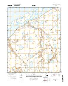
2014 · Shishmaref B-2 SE
USGS Topo · 1:25,000
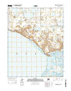
2014 · Shishmaref A-2 NE
USGS Topo · 1:25,000