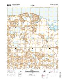
2014 Map of Shishmaref A-2 SW
USGS Topo · Published 2014About this map
The Bering Land Bridge National Preserve dominates the southern half of this coastal landscape, protecting a significant portion of the Seward Peninsula's natural history. The terrain is characterized by a dense network of thaw lakes and ponds, typical of the permafrost-laden tundra near the Chukchi Sea. To the north, the waters of Shishmaref Inlet border a complex shoreline of sandbars and low-lying coastal marshes. Waterways like Goose Cr meander through the preserve, reflecting the slow drainage patterns of the region. The presence of the shi2005 route indicates established transport corridors through this remote environment, providing essential access across the township and range lines of the Seward Peninsula.
Find a feature on this map
8 named features on this map. Tap any name to fly to it.
Don’t see what you’re looking for? This feature index may not catch every label — zoom into the map to look around manually.
Map Details
Editions of this 2014 Shishmaref A-2 SW Map
This is the sole edition of this map. No revisions or reprints were ever made.
Other maps of this area

1950 · Teller
USGS Topo · 1:250,000

1950 · Shishmaref
USGS Topo · 1:250,000

1950 · Teller D-2
USGS Topo · 1:63,360

1950 · Teller D-3
USGS Topo · 1:63,360

1950 · Shishmaref A-2
USGS Topo · 1:63,360

1950 · Shishmaref A-3
USGS Topo · 1:63,360

1951 · Shishmaref
USGS Topo · 1:250,000

1951 · Teller
USGS Topo · 1:250,000

1957 · Teller
USGS Topo · 1:250,000

1958 · Teller
USGS Topo · 1:250,000