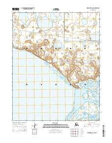
2014 Map of Shishmaref A-2 NE
USGS Topo · Published 2014About this map
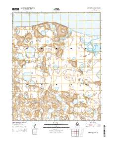
Bering Land Bridge National Preserve dominates the northeastern landscape of this coastal survey, where the tundra meets the complex tidal waters of the Seward Peninsula. The map details the transition from the low-lying terrain into the expansive Shishmaref Inlet, a critical geographic feature for understanding the coastal hydrology of the region. Inland, the Serpentine River meanders through the marshy flats, while a few terrestrial corridors such as Lane River Road and the route labeled Shi2005 provide the only named transit points across this sparsely populated wilderness. The arrangement of township boundaries and topographical contours illustrates the intersection of federal conservation lands with the traditional geography of northwestern Alaska.
Find a feature on this map
10 named features on this map. Tap any name to fly to it.
Don’t see what you’re looking for? This feature index may not catch every label — zoom into the map to look around manually.
Map Details
Editions of this 2014 Shishmaref A-2 NE Map
This is the sole edition of this map. No revisions or reprints were ever made.
Other maps of this area

1950 · Shishmaref
USGS Topo · 1:250,000

1950 · Shishmaref A-1
USGS Topo · 1:63,360

1950 · Shishmaref B-1
USGS Topo · 1:63,360

1950 · Shishmaref A-2
USGS Topo · 1:63,360
1950 · Shishmaref B-2
USGS Topo · 1:63,360

1951 · Shishmaref
USGS Topo · 1:250,000
2014 · Shishmaref A-2 NW
USGS Topo · 1:25,000
2014 · Shishmaref A-1 NW
USGS Topo · 1:25,000
2014 · Shishmaref A-2 SW
USGS Topo · 1:25,000
2014 · Shishmaref B-1 SW
USGS Topo · 1:25,000