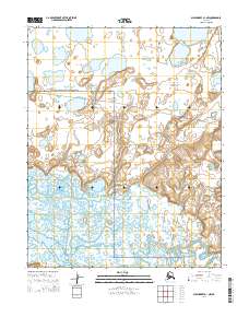
2014 Map of Shishmaref A-1 NW
USGS Topo · Published 2014About this map
The Bering Land Bridge National Preserve encompasses the majority of this Arctic landscape, where the meandering course of the Serpentine River winds through a complex network of wetlands and tundra lakes in the southern portion of the sheet. The terrain is characterized by low-lying drainage basins and small, scattered water bodies typical of the Seward Peninsula's permafrost-rich environment. Modern infrastructure is nearly absent here, represented primarily by the unpaved Lane River Road which cuts across the central landscape, providing rare overland access through these remote townships. The map documents a strictly protected wilderness area, tracing the intricate hydrology and natural boundaries within t10n r32w and adjacent sections before they reach the coast.
Find a feature on this map
11 named features on this map. Tap any name to fly to it.
Don’t see what you’re looking for? This feature index may not catch every label — zoom into the map to look around manually.
Map Details
Editions of this 2014 Shishmaref A-1 NW Map
This is the sole edition of this map. No revisions or reprints were ever made.
Other maps of this area

1950 · Shishmaref
USGS Topo · 1:250,000

1950 · Shishmaref A-1
USGS Topo · 1:63,360

1950 · Shishmaref B-1
USGS Topo · 1:63,360

1950 · Shishmaref A-2
USGS Topo · 1:63,360
1950 · Shishmaref B-2
USGS Topo · 1:63,360

1951 · Shishmaref
USGS Topo · 1:250,000
2014 · Shishmaref A-1 SE
USGS Topo · 1:25,000
2014 · Shishmaref A-1 NE
USGS Topo · 1:25,000
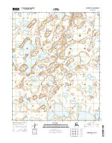
2014 · Shishmaref B-1 SW
USGS Topo · 1:25,000
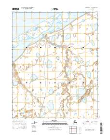
2014 · Shishmaref B-2 SE
USGS Topo · 1:25,000