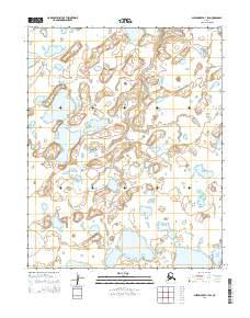
2014 Map of Shishmaref B-1 SW
USGS Topo · Published 2014About this map
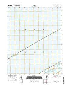
Bering Land Bridge National Preserve dominates the landscape of this coastal Arctic region, preserving a vital segment of the ancient land bridge that once connected Asia and North America. The terrain is defined by a dense network of tundra lakes and ponds interspersed with low-lying wetlands, illustrating the permafrost-influenced hydrology of the Seward Peninsula. Surveyed boundaries for t11n r32w, t11n r31w, t10n r32w, and t10n r31w provide a grid for this protected wilderness, where the lack of human infrastructure emphasizes the preserve's role in protecting one of the most remote ecosystems in Alaska.
Find a feature on this map
5 named features on this map. Tap any name to fly to it.
Don’t see what you’re looking for? This feature index may not catch every label — zoom into the map to look around manually.
Map Details
Editions of this 2014 Shishmaref B-1 SW Map
This is the sole edition of this map. No revisions or reprints were ever made.
Other maps of this area

1950 · Shishmaref
USGS Topo · 1:250,000

1950 · Shishmaref A-1
USGS Topo · 1:63,360

1950 · Shishmaref B-1
USGS Topo · 1:63,360

1950 · Shishmaref A-2
USGS Topo · 1:63,360
1950 · Shishmaref B-2
USGS Topo · 1:63,360

1951 · Shishmaref
USGS Topo · 1:250,000
2014 · Shishmaref B-1 NW
USGS Topo · 1:25,000
2014 · Shishmaref A-1 NW
USGS Topo · 1:25,000
2014 · Shishmaref B-2 NE
USGS Topo · 1:25,000
2014 · Shishmaref A-1 NE
USGS Topo · 1:25,000