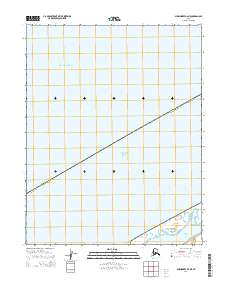
2014 Map of Shishmaref B-2 NE
USGS Topo · Published 2014About this map
Bering Land Bridge National Preserve occupies the southeastern corner of this map, representing a protected landscape that preserves a vital piece of the ancient migratory corridor between Asia and North America. The map documents the coastal interface of the Chukchi Sea and the Arctic Ocean, showing the transition into the tidal waters of Shishmaref Inlet. This area within the Alaska Nome Census Area is largely defined by its maritime boundaries and the low-lying coastal terrain characteristic of the Seward Peninsula. The survey details the township and range lines of t12n r32w and t11n r33w, providing a precise look at the land division in this remote stretch of the Alaska coast during the early twenty-first century.
Find a feature on this map
7 named features on this map. Tap any name to fly to it.
Don’t see what you’re looking for? This feature index may not catch every label — zoom into the map to look around manually.
Map Details
Editions of this 2014 Shishmaref B-2 NE Map
This is the sole edition of this map. No revisions or reprints were ever made.
Other maps of this area

1950 · Shishmaref
USGS Topo · 1:250,000

1950 · Shishmaref B-1
USGS Topo · 1:63,360
1950 · Shishmaref B-2
USGS Topo · 1:63,360

1951 · Shishmaref
USGS Topo · 1:250,000
2014 · Shishmaref B-1 NW
USGS Topo · 1:25,000
2014 · Shishmaref B-1 SW
USGS Topo · 1:25,000
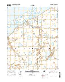
2014 · Shishmaref B-2 SE
USGS Topo · 1:25,000
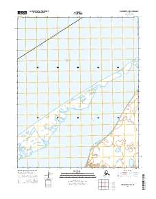
2014 · Shishmaref B-2 SW
USGS Topo · 1:25,000