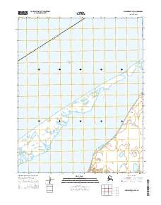
2014 Map of Shishmaref B-2 SW
USGS Topo · Published 2014About this map
The Chukchi Sea coastline dominates this 2014 survey, illustrating the fragile barrier island landscape along Alaska's northwestern edge. The map documents the slender ribbon of land separating the open sea from the protected waters of Shishmaref Inlet, a region defined by its dynamic shoreline and vast tidal flats. Within the Nome Census Area, the sheet reveals the complex network of lagoons and sand spits that characterize this subarctic environment. The lack of terrestrial development or infrastructure highlights the isolation of this maritime landscape, where the shifting boundary between land and water is the primary geographic feature. The grid systems of T11N R34W and T10N R34W provide the only structural references across this remote stretch of the Seward Peninsula.
Find a feature on this map
7 named features on this map. Tap any name to fly to it.
Don’t see what you’re looking for? This feature index may not catch every label — zoom into the map to look around manually.
Map Details
Editions of this 2014 Shishmaref B-2 SW Map
This is the sole edition of this map. No revisions or reprints were ever made.
Other maps of this area

1950 · Shishmaref
USGS Topo · 1:250,000

1950 · Shishmaref A-2
USGS Topo · 1:63,360
1950 · Shishmaref B-2
USGS Topo · 1:63,360

1950 · Shishmaref A-3
USGS Topo · 1:63,360
1950 · Shishmaref B-3
USGS Topo · 1:63,360

1951 · Shishmaref
USGS Topo · 1:250,000
2014 · Shishmaref A-2 NW
USGS Topo · 1:25,000
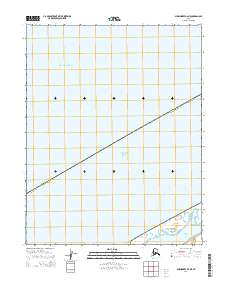
2014 · Shishmaref B-2 NE
USGS Topo · 1:25,000
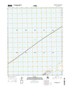
2014 · Shishmaref B-3 SE
USGS Topo · 1:25,000
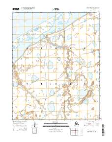
2014 · Shishmaref B-2 SE
USGS Topo · 1:25,000