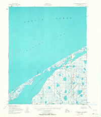
1950 Map of Shishmaref B-2
USGS Topo · Published 1963About this map
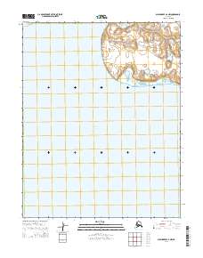
The Arctic Ocean and Chukchi Sea define the northern and western reaches of this coastal landscape on the Seward Peninsula, as recorded by the Army Map Service in 1950. The survey centers on the expansive Shishmaref Inlet, a complex system of shallow lagoons and wetlands protected by narrow barrier spits. This area is characterized by a dense network of tundra ponds and small lakes, reflecting the permafrost-driven hydrology of the region. Distinctive survey markers, including VABM Narrow, VABM West Bar, and VABM Chance, provide fixed reference points along the shifting shoreline. The absence of roads or trails highlights the isolation of this maritime environment, where the land and sea meet in a fragile, ever-changing boundary typical of the Alaskan coast during the mid-twentieth century.
Find a feature on this map
10 named features on this map. Tap any name to fly to it.
Don’t see what you’re looking for? This feature index may not catch every label — zoom into the map to look around manually.
Map Details
Editions of this 1950 Shishmaref B-2 Map
2 editions found
Other maps of this area

1950 · Shishmaref
USGS Topo · 1:250,000

1950 · Shishmaref A-1
USGS Topo · 1:63,360

1950 · Shishmaref B-1
USGS Topo · 1:63,360

1950 · Shishmaref A-2
USGS Topo · 1:63,360
1950 · Shishmaref B-2
USGS Topo · 1:63,360

1950 · Shishmaref A-3
USGS Topo · 1:63,360
1950 · Shishmaref B-3
USGS Topo · 1:63,360

1951 · Shishmaref
USGS Topo · 1:250,000
2014 · Shishmaref B-1 NW
USGS Topo · 1:25,000
2014 · Shishmaref A-2 NW
USGS Topo · 1:25,000