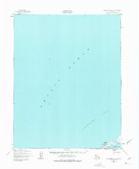
1950 Map of Shishmaref B-3
USGS Topo · Published 1975About this map
Sarichef Island stands at the boundary of the Arctic Ocean and the Chukchi Sea, anchoring the northwestern corner of the Seward Peninsula. This mid-century survey captures the remote settlement of Shishmaref, a community defined by its orientation toward the water and the narrow barrier islands that separate Shishmaref Inlet from the open sea.
Find a feature on this map
9 named features on this map. Tap any name to fly to it.
Don’t see what you’re looking for? This feature index may not catch every label — zoom into the map to look around manually.
Map Details
Editions of this 1950 Shishmaref B-3 Map
2 editions found
Other maps of this area

1950 · Shishmaref
USGS Topo · 1:250,000

1950 · Shishmaref A-2
USGS Topo · 1:63,360
1950 · Shishmaref A-4
USGS Topo · 1:63,360
1950 · Shishmaref B-2
USGS Topo · 1:63,360

1950 · Shishmaref A-3
USGS Topo · 1:63,360
1950 · Shishmaref B-3
USGS Topo · 1:63,360

1951 · Shishmaref
USGS Topo · 1:250,000
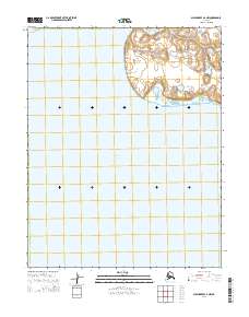
2014 · Shishmaref A-2 NW
USGS Topo · 1:25,000
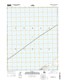
2014 · Shishmaref B-3 SE
USGS Topo · 1:25,000
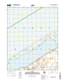
2014 · Shishmaref A-3 NW
USGS Topo · 1:25,000