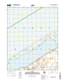
2014 Map of Shishmaref A-3 NW
USGS Topo · Published 2014About this map
The coastal interface of the Chukchi Sea and the Arctic Ocean defines this northern stretch of the Seward Peninsula. A narrow barrier island separates these open waters from the relatively sheltered Arctic Lagoon, which dominates the southern half of the map. This landscape is characterized by its isolation and the delicate hydrology of the Nome Census Area. The coastal topography shows a series of low-lying spits and beach ridges typical of this arctic environment, providing a detailed record of the shoreline's composition in the early twenty-first century. This survey documents the boundary lines of the Public Land Survey System, including t9n r37w, t9n r36w, t8n r37w, and t8n r36w, as they intersect with the shifting sands and waters of the Chukchi coast.
Find a feature on this map
8 named features on this map. Tap any name to fly to it.
Don’t see what you’re looking for? This feature index may not catch every label — zoom into the map to look around manually.
Map Details
Editions of this 2014 Shishmaref A-3 NW Map
This is the sole edition of this map. No revisions or reprints were ever made.
Other maps of this area

1950 · Shishmaref
USGS Topo · 1:250,000
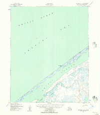
1950 · Shishmaref A-4
USGS Topo · 1:63,360

1950 · Shishmaref A-3
USGS Topo · 1:63,360
1950 · Shishmaref B-3
USGS Topo · 1:63,360

1951 · Shishmaref
USGS Topo · 1:250,000
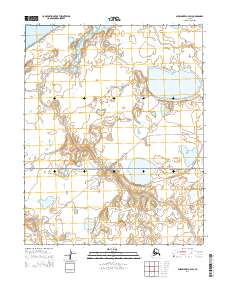
2014 · Shishmaref A-3 SW
USGS Topo · 1:25,000
2014 · Shishmaref B-3 SE
USGS Topo · 1:25,000
2014 · Shishmaref A-3 SE
USGS Topo · 1:25,000
2014 · Shishmaref A-3 NE
USGS Topo · 1:25,000
2014 · Shishmaref A-4 SE
USGS Topo · 1:25,000