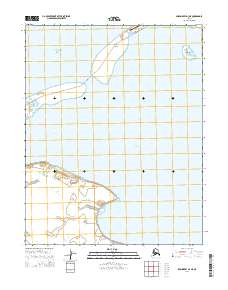
2014 Map of Shishmaref A-3 NE
USGS Topo · Published 2014About this map
Sarichef Island stands at the boundary of the Chukchi Sea and the protected interior waters of the Seward Peninsula. This 2014 survey captures a shifting coastal landscape defined by the narrow barrier islands and the expansive Arctic Lagoon. The vital link to the outside world is represented by the Shishmaref Airport on the northern tip of the island, a critical infrastructure point for a community geographically isolated by the sea. The map also details the southern reaches of the Shishmaref Inlet, where tidal dynamics and seasonal ice shape the coastline near Egg Island. This coastal environment illustrates the delicate balance of life on the edge of the Arctic, where the sea is both a resource and a constant force of change.
Find a feature on this map
13 named features on this map. Tap any name to fly to it.
Don’t see what you’re looking for? This feature index may not catch every label — zoom into the map to look around manually.
Map Details
Editions of this 2014 Shishmaref A-3 NE Map
This is the sole edition of this map. No revisions or reprints were ever made.
Other maps of this area

1950 · Shishmaref
USGS Topo · 1:250,000

1950 · Shishmaref A-2
USGS Topo · 1:63,360
1950 · Shishmaref B-2
USGS Topo · 1:63,360

1950 · Shishmaref A-3
USGS Topo · 1:63,360
1950 · Shishmaref B-3
USGS Topo · 1:63,360

1951 · Shishmaref
USGS Topo · 1:250,000
2014 · Shishmaref A-2 NW
USGS Topo · 1:25,000
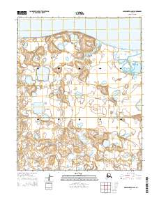
2014 · Shishmaref A-2 SW
USGS Topo · 1:25,000
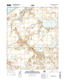
2014 · Shishmaref A-3 SW
USGS Topo · 1:25,000
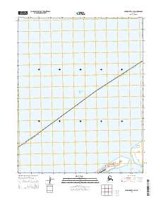
2014 · Shishmaref B-3 SE
USGS Topo · 1:25,000