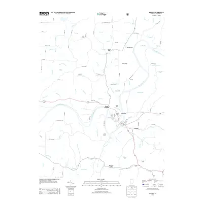
2013 Map of Shoals
USGS Topo · Published 2013About this map
The E Fork White River winds through Martin County, carving a dramatic landscape defined by high points like Pinnacle Rock and McBrides Bluff. The town of Shoals sits at the heart of this river bend, historically connected to nearby Ironton and the rural outposts of Lacy and Pleasant Valley. In the northern reaches, the Naval Weapons Support Ctr occupies a significant portion of the uplands near Dover Hill.
Find a feature on this map
126 named features on this map. Tap any name to fly to it.
Don’t see what you’re looking for? This feature index may not catch every label — zoom into the map to look around manually.
Map Details
Editions of this 2013 Shoals Map
This is the sole edition of this map. No revisions or reprints were ever made.
Other maps of this area

1935 · Oolitic
USGS Topo · 1:48,000

1942 · Oolitic
USGS Topo · 1:62,500

1948 · Huron
USGS Topo · 1:24,000

1950 · Huron
USGS Topo · 1:24,000

1950 · Shoals
USGS Topo · 1:24,000

1950 · Odon
USGS Topo · 1:24,000

1951 · Hillham
USGS Topo · 1:24,000

1956 · Alfordsville
USGS Topo · 1:24,000

1956 · Loogootee
USGS Topo · 1:24,000

1956 · Rusk
USGS Topo · 1:24,000