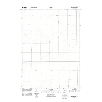
2012 Map of Shoemaker Dam
USGS Topo · Published 2012About this map
Shoemaker Dam serves as the central landmark for this rural Davison County landscape, situated along the winding course of Twelvemile Cr. The map reveals the rigid precision of the Public Land Survey System, where a grid of gravel and section roads—including 264th St and 407th Ave—divides the prairie into a patchwork of agricultural tracts. This 2012 snapshot reflects the enduring rural character of South Dakota, where the placement of farmsteads and water management features like the dam define the local geography. The layout of these township roads provides a clear record for researchers tracing land ownership or the evolution of local infrastructure in the early 21st century.
Find a feature on this map
15 named features on this map. Tap any name to fly to it.
Don’t see what you’re looking for? This feature index may not catch every label — zoom into the map to look around manually.
Map Details
Editions of this 2012 Shoemaker Dam Map
This is the sole edition of this map. No revisions or reprints were ever made.
Other maps of this area

1898 · Olivet
USGS Topo · 1:125,000

1899 · Mitchell
USGS Topo · 1:125,000

1899 · Alexandria
USGS Topo · 1:125,000

1955 · Sioux Falls
USGS Topo · 1:250,000

1955 · Mitchell
USGS Topo · 1:250,000

1957 · Ethan
USGS Topo · 1:24,000

1957 · Riverside
USGS Topo · 1:24,000

1957 · Mitchell
USGS Topo · 1:24,000

1958 · Sioux Falls
USGS Topo · 1:250,000

1959 · Mitchell
USGS Topo · 1:250,000