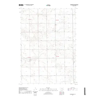
2017 Map of Shoemaker Dam
USGS Topo · Published 2017About this map
Twelvemile Cr meanders through the heart of the Lisbon Township area, defining the drainage patterns of this rural Davison County landscape. The watercourse is regulated in the southwest by Shoemaker Dam, a local engineering feature that stands out in an otherwise agricultural grid of section lines. Near the junction of 408th Ave and 261st St, the New Home Lutheran Cem serves as a significant genealogical landmark, anchoring the history of the local farming community. The map is defined by a dense network of organized township roads, including 404th Ave and 267th St, illustrating the enduring importance of the Public Land Survey System in organizing the South Dakota plains into manageable agricultural tracts during the early twenty-first century.
Find a feature on this map
24 named features on this map. Tap any name to fly to it.
Don’t see what you’re looking for? This feature index may not catch every label — zoom into the map to look around manually.
Map Details
Editions of this 2017 Shoemaker Dam Map
This is the sole edition of this map. No revisions or reprints were ever made.
Other maps of this area

1898 · Olivet
USGS Topo · 1:125,000

1899 · Mitchell
USGS Topo · 1:125,000

1899 · Alexandria
USGS Topo · 1:125,000

1955 · Sioux Falls
USGS Topo · 1:250,000

1955 · Mitchell
USGS Topo · 1:250,000

1957 · Ethan
USGS Topo · 1:24,000

1957 · Riverside
USGS Topo · 1:24,000

1957 · Mitchell
USGS Topo · 1:24,000

1958 · Sioux Falls
USGS Topo · 1:250,000

1959 · Mitchell
USGS Topo · 1:250,000