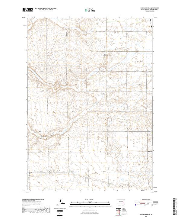
2021 Map of Shoemaker Dam
USGS Topo · Published 2021About this map
Twelvemile Cr defines the drainage of this prairie landscape in south-central South Dakota, where the Shoemaker Dam regulates its flow through a series of shallow wetlands and small depressions. The map reveals a strictly regulated section-line road network, where thoroughfares such as 265th St and 407th Ave dictate the movement of local traffic across the rural townships. Genealogy researchers can find the New Home Lutheran Cem located in the northern portion of the quadrangle, serving as a significant landmark for the surrounding farming community. This modern survey illustrates the persistent agricultural character of Davison County, where the topography is shaped by the subtle shifts of the plains and the essential management of water resources in a semi-arid environment.
Find a feature on this map
22 named features on this map. Tap any name to fly to it.
Don’t see what you’re looking for? This feature index may not catch every label — zoom into the map to look around manually.
Map Details
Editions of this 2021 Shoemaker Dam Map
This is the sole edition of this map. No revisions or reprints were ever made.
Other maps of this area

1898 · Olivet
USGS Topo · 1:125,000

1899 · Mitchell
USGS Topo · 1:125,000

1899 · Alexandria
USGS Topo · 1:125,000

1955 · Sioux Falls
USGS Topo · 1:250,000

1955 · Mitchell
USGS Topo · 1:250,000

1957 · Ethan
USGS Topo · 1:24,000

1957 · Riverside
USGS Topo · 1:24,000

1957 · Mitchell
USGS Topo · 1:24,000

1958 · Sioux Falls
USGS Topo · 1:250,000

1959 · Mitchell
USGS Topo · 1:250,000