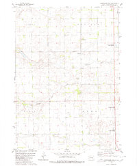
1980 Map of Shoemaker Dam
USGS Topo · Published 1980About this map
Twelvemile Creek carves a winding path through this corner of Davison County, where the agricultural landscape is organized into the townships of Lisbon, Prosper, Tobin, and Rome. This 1970s-era land use survey shows a region defined by its water management and conservation efforts, anchored by the Shoemaker Dam and multiple designated National Waterfowl Production Areas.
Find a feature on this map
14 named features on this map. Tap any name to fly to it.
Don’t see what you’re looking for? This feature index may not catch every label — zoom into the map to look around manually.
Map Details
Editions of this 1980 Shoemaker Dam Map
This is the sole edition of this map. No revisions or reprints were ever made.
Other maps of this area

1898 · Olivet
USGS Topo · 1:125,000

1899 · Mitchell
USGS Topo · 1:125,000

1899 · Alexandria
USGS Topo · 1:125,000

1955 · Sioux Falls
USGS Topo · 1:250,000

1955 · Mitchell
USGS Topo · 1:250,000

1957 · Ethan
USGS Topo · 1:24,000

1957 · Riverside
USGS Topo · 1:24,000

1957 · Mitchell
USGS Topo · 1:24,000

1958 · Sioux Falls
USGS Topo · 1:250,000

1959 · Mitchell
USGS Topo · 1:250,000