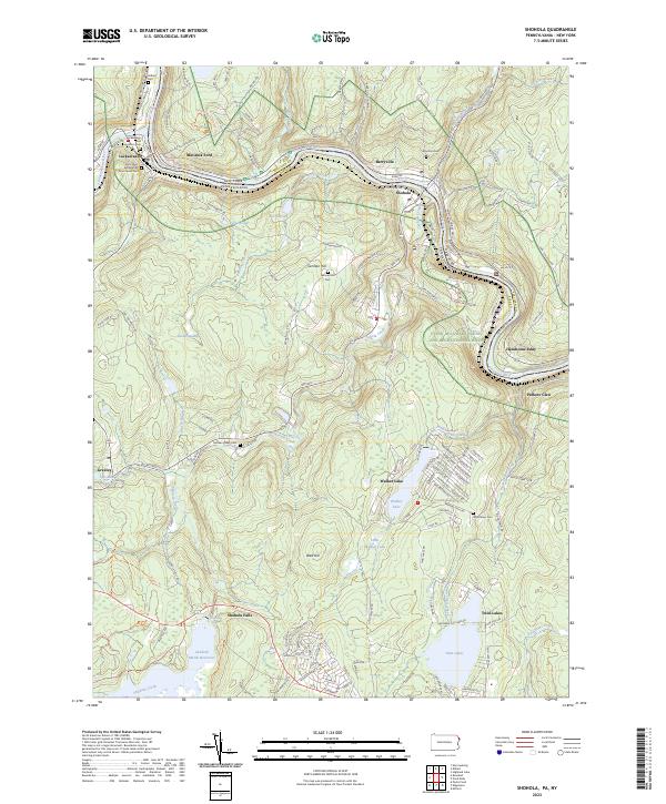
2023 Map of Shohola
USGS Topo · Published 2023About this map
The Delaware River forms a serpentine border between Pike County, Pennsylvania, and Sullivan County, New York, anchoring a landscape defined by steep river gorges and upland plateaus. Along the western bank, the Lackawaxen River joins the Delaware near the settlement of Lackawaxen, a site of significant regional history reflected in the nearby Minisink Battleground Trl. The map details a network of early river-crossing points and settlements like Shohola and Barryville, which developed around the natural topography of the Delaware River Gorge.
Find a feature on this map
150 named features on this map. Tap any name to fly to it.
Don’t see what you’re looking for? This feature index may not catch every label — zoom into the map to look around manually.
Map Details
Editions of this 2023 Shohola Map
This is the sole edition of this map. No revisions or reprints were ever made.
Other maps of this area

1913 · Milford
USGS Topo · 1:62,500

1915 · Milford
USGS Topo · 1:62,500

1920 · Damascus
USGS Topo · 1:62,500

1922 · White Lake
USGS Topo · 1:62,500

1923 · Damascus
USGS Topo · 1:62,500

1935 · Hawley
USGS Topo · 1:62,500

1938 · Hawley
USGS Topo · 1:62,500

1942 · White Lake
USGS Topo · 1:62,500

1943 · Honesdale
USGS Topo · 1:125,000

1943 · White Lake
USGS Topo · 1:62,500