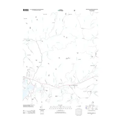
2013 Map of Shooting Creek
USGS Topo · Published 2013About this map
The settlement of Elf and the surrounding mountain coves define this landscape along the upper reaches of Chatuge Lake. Development in this region is largely confined to the valleys and lower slopes, as seen in the cluster of local roads near Elf School Rd and the small communities of Shooting Creek and Jackie Cove. The topography is dominated by numerous high-elevation landmarks such as Boteler Peak, Kitchens Knob, and Galloway Mountain, which separate the various creek drainages like Tusquitee Cr and Big Tuni Cr.
Find a feature on this map
144 named features on this map. Tap any name to fly to it.
Don’t see what you’re looking for? This feature index may not catch every label — zoom into the map to look around manually.
Map Details
Editions of this 2013 Shooting Creek Map
This is the sole edition of this map. No revisions or reprints were ever made.
Other maps of this area

1886 · Dahlonega
USGS Topo · 1:125,000

1892 · Dahlonega
USGS Topo · 1:125,000

1896 · Dahlonega
USGS Topo · 1:125,000

1903 · Dahlonega
USGS Topo · 1:125,000

1935 · Osborn
USGS Topo · 1:24,000

1935 · Rainbow Springs
USGS Topo · 1:24,000

1935 · Shooting Creek
USGS Topo · 1:24,000

1935 · Burningtown Bald
USGS Topo · 1:24,000

1935 · Topton
USGS Topo · 1:24,000

1935 · Wayah Bald
USGS Topo · 1:48,000