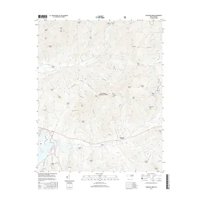
2016 Map of Shooting Creek
USGS Topo · Published 2016About this map
The settlement of Elf and the surrounding mountain ridges of the Nantahala National Forest define this 2016 study of Clay County. The landscape is dominated by the complex hydrology of the Blue Ridge, where Shooting Creek and Tusquittee Creek carve deep valleys between high elevations like Chunky Gal Mtn and Boteler Peak. Cultural landmarks include the Galloway Hill Cem and the lakeshore development at Tusquittee Landing along the northeast reaches of Chatuge Lake.
Find a feature on this map
116 named features on this map. Tap any name to fly to it.
Don’t see what you’re looking for? This feature index may not catch every label — zoom into the map to look around manually.
Map Details
Editions of this 2016 Shooting Creek Map
This is the sole edition of this map. No revisions or reprints were ever made.
Other maps of this area

1886 · Dahlonega
USGS Topo · 1:125,000

1892 · Dahlonega
USGS Topo · 1:125,000

1896 · Dahlonega
USGS Topo · 1:125,000

1903 · Dahlonega
USGS Topo · 1:125,000

1935 · Osborn
USGS Topo · 1:24,000

1935 · Rainbow Springs
USGS Topo · 1:24,000

1935 · Shooting Creek
USGS Topo · 1:24,000

1935 · Burningtown Bald
USGS Topo · 1:24,000

1935 · Topton
USGS Topo · 1:24,000

1935 · Wayah Bald
USGS Topo · 1:48,000