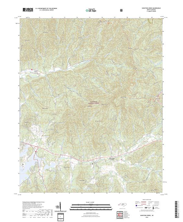
2022 Map of Shooting Creek
USGS Topo · Published 2022About this map
Shooting Creek flows through the heart of the Nantahala National Forest, anchoring a community defined by its proximity to the waters of Chatuge Lake. This contemporary survey reveals a landscape where modern recreation at Tusquitee Landing and the Ridges Overlook exists alongside older traces of settlement, such as the Galloway Hill Cem. The topography is dominated by prominent ridges including Gold Mine Ridge, Bruce Ridge, and Springhouse Ridge, which hem in the narrow valleys. The presence of the Elf community near the lake's edge suggests the enduring character of small Clay County hamlets. Between the high peaks of Chunky Gal Mtn and Boteler Peak, numerous smaller tributaries like Tusquitee Creek and Muskrat Br carve through the heavily forested terrain, illustrating the complex drainage patterns of the Southern Appalachians.
Find a feature on this map
101 named features on this map. Tap any name to fly to it.
Don’t see what you’re looking for? This feature index may not catch every label — zoom into the map to look around manually.
Map Details
Editions of this 2022 Shooting Creek Map
This is the sole edition of this map. No revisions or reprints were ever made.
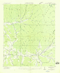
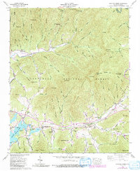
Historical Maps of Shooting Creek Through Time
3 maps found