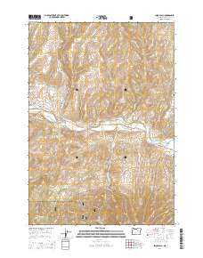
2014 Map of Shop Gulch
USGS Topo · Published 2014About this map
The John Day River carves a deep valley through this portion of Grant County, dividing the landscape between the high timber of the Malheuer National Forest to the south and the dissected plateaus to the north. This 2014 survey reveals an area defined by its water management and elevation, where the Eddington Ditch follows the river's contours to support local ranching and residential developments like River Estates Ln. Notable landmarks such as Coyote Butte, Horseshoe Butte, and Chrome Ridge rise above a network of drainages including Fields Cr and Belshaw Cr. The map details the vital role of the John Day Hwy as the primary artery connecting these isolated gulches and canyons, while Forest Service routes like Fields Creek Rd NFR 21 provide access to the high backcountry.
Find a feature on this map
44 named features on this map. Tap any name to fly to it.
Don’t see what you’re looking for? This feature index may not catch every label — zoom into the map to look around manually.
Map Details
Editions of this 2014 Shop Gulch Map
This is the sole edition of this map. No revisions or reprints were ever made.
Other maps of this area

1940 · Mount Vernon
USGS Topo · 1:62,500

1940 · Aldrich Mtn.
USGS Topo · 1:62,500

1943 · Aldrich Mtn.
USGS Topo · 1:62,500

1943 · Mount Vernon
USGS Topo · 1:62,500

1949 · Long Creek
USGS Topo · 1:62,500

1951 · Long Creek
USGS Topo · 1:62,500

1951 · Courtrock
USGS Topo · 1:62,500

1955 · Canyon City
USGS Topo · 1:250,000

1959 · Canyon City
USGS Topo · 1:250,000

1972 · Big Weasel Sprs
USGS Topo · 1:24,000