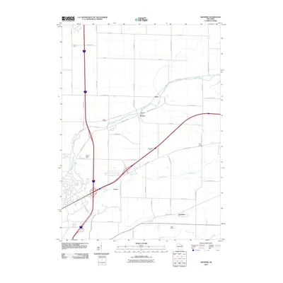
2010 Map of Shopiere
USGS Topo · Published 2010About this map
Shopiere is situated along the winding course of Turtle Creek, where the Shopiere Dam manages the flow near the heart of this Rock County community. The landscape is a patchwork of agricultural operations and rural residential areas, characterized by large-scale family interests such as Arndt Farms, Arrowhead Orchards, and the R And S Rolling Ranch. Transportation routes converge at modern interchanges, yet the map preserves the locations of older landmarks like Porters and Tiffany. Genealogists and local historians can find two significant burial sites: Turtle Cemetery and the Clinton Corners Cemetery, located near the eastern edge of the quadrangle. In the south, the presence of the Turtle Airport and the settlement of Foxhollow further define the suburban and rural character of the area outside of Beloit.
Find a feature on this map
49 named features on this map. Tap any name to fly to it.
Don’t see what you’re looking for? This feature index may not catch every label — zoom into the map to look around manually.
Map Details
Editions of this 2010 Shopiere Map
This is the sole edition of this map. No revisions or reprints were ever made.
Other maps of this area

1891 · Janesville
USGS Topo · 1:62,500

1893 · Janesville
USGS Topo · 1:62,500

1893 · Shopiere
USGS Topo · 1:62,500

1918 · Rockford
USGS Topo · 1:62,500

1918 · Belvidere
USGS Topo · 1:62,500

1938 · Rockford
USGS Topo · 1:62,500

1944 · Belvidere
USGS Topo · 1:62,500

1954 · Rockford
USGS Topo · 1:250,000

1955 · Rockford
USGS Topo · 1:250,000

1958 · Rockford
USGS Topo · 1:250,000