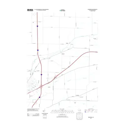
2013 Map of Shopiere
USGS Topo · Published 2013About this map
Turtle Creek winds through the heart of this Rock County landscape, serving as a primary geographical anchor for the communities of Shopiere and Tiffany. The map reveals a transition from traditional agricultural foundations, seen in labels like Arndt Farms and Arrowhead Orchards, to modern transport corridors where major highways intersect near Porters. The drainage patterns of Spring Brook and Dry Cr define the lower terrain, while private aviation infrastructure is noted at Melin Farms Airport and Turtle Airport. This 2013 survey provides a detailed look at the rural-suburban interface of Wisconsin, where local ranching operations like R And S Rolling Ranch and residential pockets like Foxhollow sit adjacent to a dense network of local roads such as S Belding Rd and S Milner Rd.
Find a feature on this map
70 named features on this map. Tap any name to fly to it.
Don’t see what you’re looking for? This feature index may not catch every label — zoom into the map to look around manually.
Map Details
Editions of this 2013 Shopiere Map
This is the sole edition of this map. No revisions or reprints were ever made.
Other maps of this area

1891 · Janesville
USGS Topo · 1:62,500

1893 · Janesville
USGS Topo · 1:62,500

1893 · Shopiere
USGS Topo · 1:62,500

1918 · Rockford
USGS Topo · 1:62,500

1918 · Belvidere
USGS Topo · 1:62,500

1938 · Rockford
USGS Topo · 1:62,500

1944 · Belvidere
USGS Topo · 1:62,500

1954 · Rockford
USGS Topo · 1:250,000

1955 · Rockford
USGS Topo · 1:250,000

1958 · Rockford
USGS Topo · 1:250,000