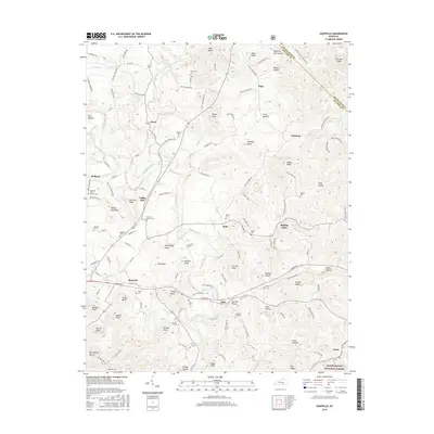
2016 Map of Shopville
USGS Topo · Published 2016About this map
Shopville and the surrounding highlands of eastern Pulaski County are defined by a complex network of ridges and hollows where the Cumberland Plateau begins its transition. Small settlements like Stab, Dahl, and Vanhook are linked by winding roads that follow the contours of the land, such as Dahl-Elrod Rd and London Rd. The area is characterized by numerous family and community landmarks, including the Pleasant View Church and Fellowship Church, along with several historic burial grounds like Renfro Cem and Childress Cem.
Find a feature on this map
132 named features on this map. Tap any name to fly to it.
Don’t see what you’re looking for? This feature index may not catch every label — zoom into the map to look around manually.
Map Details
Editions of this 2016 Shopville Map
This is the sole edition of this map. No revisions or reprints were ever made.
Other maps of this area

1893 · London
USGS Topo · 1:125,000

1897 · London
USGS Topo · 1:125,000
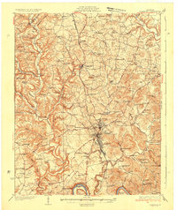
1935 · Somerset
USGS Topo · 1:62,500
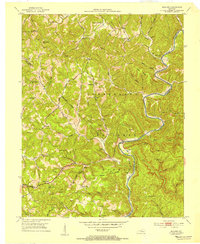
1952 · Billows
USGS Topo · 1:24,000
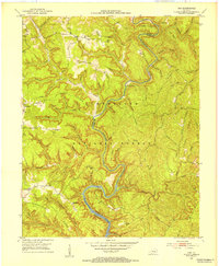
1952 · Ano
USGS Topo · 1:24,000
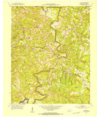
1952 · Dykes
USGS Topo · 1:24,000
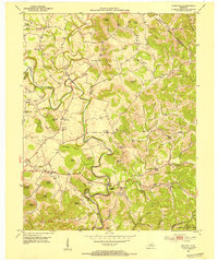
1952 · Shopville
USGS Topo · 1:24,000
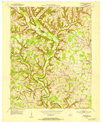
1952 · Woodstock
USGS Topo · 1:24,000
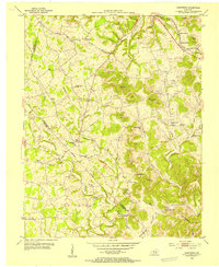
1953 · Maretburg
USGS Topo · 1:24,000
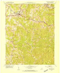
1953 · Mount Vernon
USGS Topo · 1:24,000