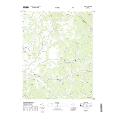
2019 Map of Shopville
USGS Topo · Published 2019About this map
Buck Creek winds through the central corridor of this Pulaski County landscape, serving as the primary drainage for numerous tributaries like Latham Br and Flat Lick Cr. The settlement pattern is defined by small communities such as Shopville, Valley Oak, and Stab situated along winding valley roads. The topography is notably marked by isolated summits including Cash Knob, Menifee Knob, and Fanny Knob, while the eastern portion transitions into the protected acreage of the Daniel Boone National Forest. For local historians and genealogists, the map identifies several rural landmarks including the Pleasant View Church and Flat Lick Church, alongside family-named burial sites such as Childress Cem, Bullock Cem, and Gilmore Cem. The presence of Sinking Valley and Price Valley suggests a landscape deeply shaped by its hydrological patterns, where early roads followed the natural contours of the ridges and bottoms.
Find a feature on this map
139 named features on this map. Tap any name to fly to it.
Don’t see what you’re looking for? This feature index may not catch every label — zoom into the map to look around manually.
Map Details
Editions of this 2019 Shopville Map
This is the sole edition of this map. No revisions or reprints were ever made.
Other maps of this area

1893 · London
USGS Topo · 1:125,000

1897 · London
USGS Topo · 1:125,000

1935 · Somerset
USGS Topo · 1:62,500

1952 · Billows
USGS Topo · 1:24,000

1952 · Ano
USGS Topo · 1:24,000

1952 · Dykes
USGS Topo · 1:24,000

1952 · Shopville
USGS Topo · 1:24,000

1952 · Woodstock
USGS Topo · 1:24,000

1953 · Maretburg
USGS Topo · 1:24,000

1953 · Mount Vernon
USGS Topo · 1:24,000