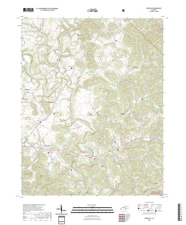
2022 Map of Shopville
USGS Topo · Published 2022About this map
Buck Creek and its many tributaries, including Clifty Cr and Brushy Cr, define the drainage patterns of this eastern Kentucky landscape near the border of Rockcastle and Pulaski counties. The terrain is characterized by a series of prominent knobs and ridges, such as Plato Knob, Fellowship Knob, and Logan Ridge, interspersed with deeply cut hollows like Opossum Strut Hollow and Wildcat Hollow. Small communities and named locales including Shopville, Stab, Dahl, and Plato are connected by a network of local routes like London Rd and State Hwy 1003. The map is particularly notable for its dense concentration of small family and community burial grounds, such as Childress Cem, Bobbitt Cem, and the Randell - Herrin Cem, which provide significant genealogical touchpoints across the rural countryside near the Daniel Boone National Forest.
Find a feature on this map
98 named features on this map. Tap any name to fly to it.
Don’t see what you’re looking for? This feature index may not catch every label — zoom into the map to look around manually.
Map Details
Editions of this 2022 Shopville Map
This is the sole edition of this map. No revisions or reprints were ever made.
Other maps of this area

1893 · London
USGS Topo · 1:125,000

1897 · London
USGS Topo · 1:125,000

1935 · Somerset
USGS Topo · 1:62,500

1952 · Billows
USGS Topo · 1:24,000

1952 · Ano
USGS Topo · 1:24,000

1952 · Dykes
USGS Topo · 1:24,000

1952 · Shopville
USGS Topo · 1:24,000

1952 · Woodstock
USGS Topo · 1:24,000

1953 · Maretburg
USGS Topo · 1:24,000

1953 · Mount Vernon
USGS Topo · 1:24,000