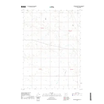
2017 Map of Short Bow Creek West
USGS Topo · Published 2017About this map
Pass Creek Basin anchors this expansive section of Jackson County, where a complex network of seasonal drainages and local springs defines the topography. The landscape is marked by subtle but distinct features like Half Dome and several named water sources including Hill Spring, North Spring, and Rooks Spring. These reliable points of interest would have been vital landmarks for early ranchers and travelers in this semi-arid region.
Find a feature on this map
21 named features on this map. Tap any name to fly to it.
Don’t see what you’re looking for? This feature index may not catch every label — zoom into the map to look around manually.
Map Details
Editions of this 2017 Short Bow Creek West Map
This is the sole edition of this map. No revisions or reprints were ever made.
Other maps of this area

1951 · Pass Creek NW
USGS Topo · 1:24,000

1951 · Wanblee NE
USGS Topo · 1:24,000

1951 · Pass Creek NE
USGS Topo · 1:24,000

1955 · Martin
USGS Topo · 1:250,000

1958 · Martin
USGS Topo · 1:250,000

1980 · Kadoka
USGS Topo · 1:100,000

1981 · Long Valley
USGS Topo · 1:25,000

1981 · Broken Leg Dam
USGS Topo · 1:24,000
1981 · Short Bow Creek
USGS Topo · 1:25,000

1981 · Buzzard Butte
USGS Topo · 1:25,000