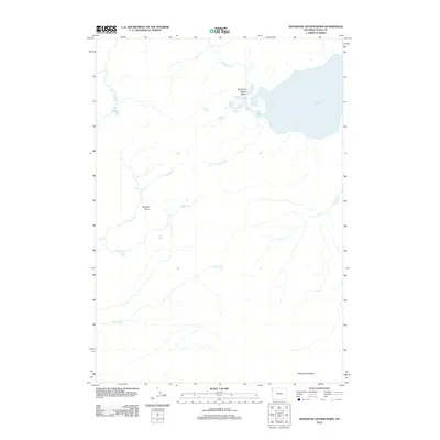
2012 Map of Shoshone Geyser Basin
USGS Topo · Published 2012About this map
Shoshone Geyser Basin serves as the focal point of this geothermal landscape, situated along the western shores of Shoshone Lake. The complex hydrothermal system is detailed through individual features such as Union Geyser, Little Giant Geyser, and the Orion Group. Water management and natural drainage are defined by Shoshone Cr and Fall Cr, which feed into the lake from the surrounding high ground.
Find a feature on this map
27 named features on this map. Tap any name to fly to it.
Don’t see what you’re looking for? This feature index may not catch every label — zoom into the map to look around manually.
Map Details
Editions of this 2012 Shoshone Geyser Basin Map
This is the sole edition of this map. No revisions or reprints were ever made.
Other maps of this area

1886 · Shoshone
USGS Topo · 1:125,000

1888 · Shoshone
USGS Topo · 1:125,000

1895 · Shoshone
USGS Topo · 1:125,000

1901 · Shoshone
USGS Topo · 1:125,000

1908 · Shoshone
USGS Topo · 1:125,000

1911 · Shoshone
USGS Topo · 1:125,000

1955 · Ashton
USGS Topo · 1:250,000
1956 · West Thumb
USGS Topo · 1:62,500

1956 · Old Faithful
USGS Topo · 1:62,500

1956 · Grassy Lake Reservoir
USGS Topo · 1:62,500