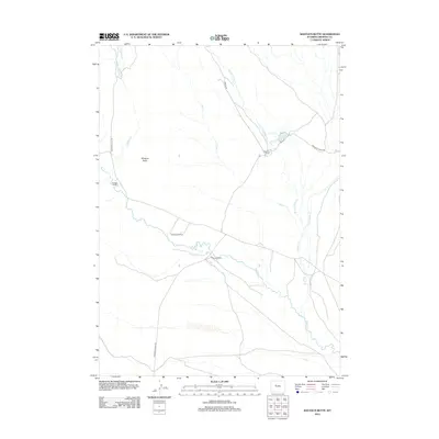
2012 Map of Shotgun Butte
USGS Topo · Published 2012About this map
Arapahoe Ranch and several neighboring cattle operations anchor this high plains landscape in Fremont County, where water sources dictate the placement of local infrastructure. The terrain is defined by the prominent Shotgun Butte and an intricate drainage network including Muddy Cr and Shotgun Cr. The map reveals a settlement pattern focused on established ranching homesteads such as Cannonball Ranch, Merriam Ranch, and Shotgun Ranch, all linked by a system of primitive and unimproved roads. Small-scale water management is evident at the Arapahoe Reservoir along the W Fork Sheep Cr, highlighting the necessity of water storage for livestock in this arid environment. The naming of McKee Grave Cr suggests a deeper layer of local history or pioneer-era events tied to specific landmarks on the range.
Find a feature on this map
16 named features on this map. Tap any name to fly to it.
Don’t see what you’re looking for? This feature index may not catch every label — zoom into the map to look around manually.
Map Details
Editions of this 2012 Shotgun Butte Map
This is the sole edition of this map. No revisions or reprints were ever made.
Other maps of this area

1950 · Pavillion Butte
USGS Topo · 1:24,000

1950 · Harris Bridge
USGS Topo · 1:24,000

1950 · Shotgun Butte
USGS Topo · 1:24,000

1951 · Eagle Point
USGS Topo · 1:24,000

1951 · Lookout Butte
USGS Topo · 1:24,000

1951 · Jenkins Mountain
USGS Topo · 1:24,000

1952 · Kates Basin
USGS Topo · 1:24,000

1952 · Sheep Ridge
USGS Topo · 1:24,000

1952 · Bargee
USGS Topo · 1:24,000

1955 · Thermopolis
USGS Topo · 1:250,000