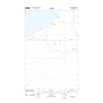
2013 Map of Shotley Brook
USGS Topo · Published 2013About this map
Upper Red Lake defines the northern shoreline of this Beltrami County landscape, where the small settlements of Domaas and Otto sit near the water's edge. The interior is a mixture of wetlands and forest, much of it protected within the Red Lake State Frst. Water dominates the geography, from the meandering course of Shotley Brook to the N Br Battle River flowing through the southern portion of the quadrangle. Local transportation is facilitated by a network of rural routes such as Artesian Spring Rd Ne and Joas Beach Rd Ne, which serve the lakeside residents and visitors to Mort's Dock Recreational Camping Area. This map documents a quiet, water-focused region where the vast lake surface meets the low-lying timberlands of northern Minnesota.
Find a feature on this map
17 named features on this map. Tap any name to fly to it.
Don’t see what you’re looking for? This feature index may not catch every label — zoom into the map to look around manually.
Map Details
Editions of this 2013 Shotley Brook Map
This is the sole edition of this map. No revisions or reprints were ever made.
Other maps of this area

1919 · Fox
USGS Topo · 1:62,500

1919 · Quiring
USGS Topo · 1:62,500

1919 · Norden
USGS Topo · 1:62,500

1919 · Bridgie
USGS Topo · 1:62,500

1924 · Bridgie
USGS Topo · 1:62,500

1954 · Bemidji
USGS Topo · 1:250,000

1954 · Roseau
USGS Topo · 1:250,000

1957 · Roseau
USGS Topo · 1:250,000

1957 · Bemidji
USGS Topo · 1:250,000

1958 · Bemidji
USGS Topo · 1:250,000