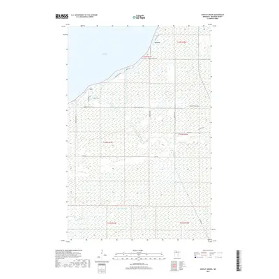
2019 Map of Shotley Brook
USGS Topo · Published 2019About this map
Upper Red Lake defines the northern coastline of this remote Beltrami County landscape, where the water meets a dense network of wetlands and low-lying drainage. The small settlements of Otto and Domaas serve as the primary hubs for local navigation, connected by a grid of rural routes such as Sunny Beach Rd NE and Joas Beach Rd NE. The geography is dominated by intricate water systems, including the namesake Shotley Brook and the N Br Battle River to the south. This survey highlights the intersection of coastal access and inland marshland, noting specific landmarks like Domaas Cr and Artesian Spring Rd NE that reflect the localized land use and hydrology of the region.
Find a feature on this map
25 named features on this map. Tap any name to fly to it.
Don’t see what you’re looking for? This feature index may not catch every label — zoom into the map to look around manually.
Map Details
Editions of this 2019 Shotley Brook Map
This is the sole edition of this map. No revisions or reprints were ever made.
Other maps of this area

1919 · Fox
USGS Topo · 1:62,500

1919 · Quiring
USGS Topo · 1:62,500

1919 · Norden
USGS Topo · 1:62,500

1919 · Bridgie
USGS Topo · 1:62,500

1924 · Bridgie
USGS Topo · 1:62,500

1954 · Bemidji
USGS Topo · 1:250,000

1954 · Roseau
USGS Topo · 1:250,000

1957 · Roseau
USGS Topo · 1:250,000

1957 · Bemidji
USGS Topo · 1:250,000

1958 · Bemidji
USGS Topo · 1:250,000