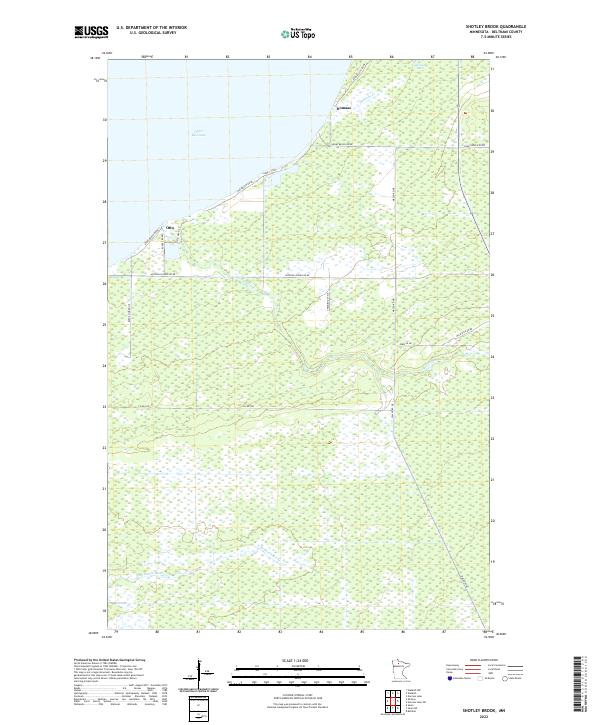
2022 Map of Shotley Brook
USGS Topo · Published 2022About this map
Upper Red Lake forms the northern boundary of this Beltrami County landscape, where the shoreline meets a dense network of wetland and drainage systems. The small settlements of Domaas and Otto sit near the lakefront, connected by a grid of specialized local routes like Sunny Beach Rd Ne and Ethel Beach Rd Ne. The interior of the quadrangle is defined by its watercourses, notably the winding path of Shotley Brook and the headwaters of the N Br Battle River. The terrain is characterized by expansive marshland and low-lying areas, punctuated by smaller bodies of water such as Larson Lake and the feeder stream Domaas Cr. This map captures the modern distribution of these rural communities and the persistent natural water patterns that continue to shape the development of northern Minnesota's lake country.
Find a feature on this map
27 named features on this map. Tap any name to fly to it.
Don’t see what you’re looking for? This feature index may not catch every label — zoom into the map to look around manually.
Map Details
Editions of this 2022 Shotley Brook Map
This is the sole edition of this map. No revisions or reprints were ever made.
Other maps of this area

1919 · Fox
USGS Topo · 1:62,500

1919 · Quiring
USGS Topo · 1:62,500

1919 · Norden
USGS Topo · 1:62,500

1919 · Bridgie
USGS Topo · 1:62,500

1924 · Bridgie
USGS Topo · 1:62,500

1954 · Bemidji
USGS Topo · 1:250,000

1954 · Roseau
USGS Topo · 1:250,000

1957 · Roseau
USGS Topo · 1:250,000

1957 · Bemidji
USGS Topo · 1:250,000

1958 · Bemidji
USGS Topo · 1:250,000