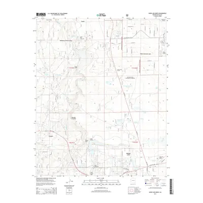
2014 Map of Show Low North
USGS Topo · Published 2014About this map
Sitgreaves National Forest covers much of the high terrain in this part of Arizona, where the Mogollon Plateau drops toward the valley of Show Low Creek. In the southern portion of the map, the city of Show Low and the neighboring settlement of Linden reflect the modern growth of this gateway region. The landscape is dotted with small impoundments and natural basins, including Fools Hollow Lake, White Mountain Lake, and Pintail Lake, which support the high-altitude ecosystem and local recreation. Historical movement through the area is evidenced by the persistence of Robinson Trail Crossing and Roundy Crossing, marking old routes across the drainages. Modern infrastructure is anchored by the Show Low Regional Airport, while the Lone Pine Gravel Pit indicates the local industrial activity required to support the expanding road network.
Find a feature on this map
81 named features on this map. Tap any name to fly to it.
Don’t see what you’re looking for? This feature index may not catch every label — zoom into the map to look around manually.
Map Details
Editions of this 2014 Show Low North Map
This is the sole edition of this map. No revisions or reprints were ever made.
Other maps of this area

1886 · St Johns
USGS Topo · 1:250,000

1886 · Holbrook
USGS Topo · 1:250,000

1892 · St Johns
USGS Topo · 1:250,000

1893 · Holbrook
USGS Topo · 1:250,000

1954 · Holbrook
USGS Topo · 1:250,000

1954 · Saint Johns
USGS Topo · 1:250,000

1957 · Holbrook
USGS Topo · 1:250,000

1957 · Saint Johns
USGS Topo · 1:250,000

1958 · Saint Johns
USGS Topo · 1:250,000

1958 · Holbrook
USGS Topo · 1:250,000