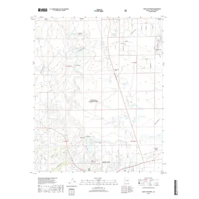
2018 Map of Show Low North
USGS Topo · Published 2018About this map
The Mogollon Plateau and northern reaches of Show Low define this high-altitude landscape in the late 2010s. The area serves as a significant intersection of natural and modern features, where the expansive Sitgreaves National Forest borders the growing outskirts of Taylor. A sophisticated network of water management and natural catchments is evident across the terrain, including Fools Hollow, Bills Lake, and numerous stock tanks like Thistle Tank.
Find a feature on this map
60 named features on this map. Tap any name to fly to it.
Don’t see what you’re looking for? This feature index may not catch every label — zoom into the map to look around manually.
Map Details
Editions of this 2018 Show Low North Map
This is the sole edition of this map. No revisions or reprints were ever made.
Other maps of this area

1886 · St Johns
USGS Topo · 1:250,000

1886 · Holbrook
USGS Topo · 1:250,000

1892 · St Johns
USGS Topo · 1:250,000

1893 · Holbrook
USGS Topo · 1:250,000

1954 · Holbrook
USGS Topo · 1:250,000

1954 · Saint Johns
USGS Topo · 1:250,000

1957 · Holbrook
USGS Topo · 1:250,000

1957 · Saint Johns
USGS Topo · 1:250,000

1958 · Saint Johns
USGS Topo · 1:250,000

1958 · Holbrook
USGS Topo · 1:250,000