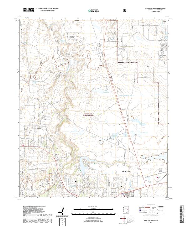
2021 Map of Show Low North
USGS Topo · Published 2021About this map
The city of Show Low serves as the focal point for this Navajo County survey, situated at the edge of the Sitgreaves National Forest. The landscape is defined by the drainage of Show Low Creek and several distinctive depressions and water bodies including Sink Hole Lake, White Lake, and Bills Lake. To the north, the terrain transitions toward the Mogollon Plateau, while the southern portion of the sheet features the jurisdictional presence of the Navajo County Superior Court.
Find a feature on this map
78 named features on this map. Tap any name to fly to it.
Don’t see what you’re looking for? This feature index may not catch every label — zoom into the map to look around manually.
Map Details
Editions of this 2021 Show Low North Map
This is the sole edition of this map. No revisions or reprints were ever made.
Other maps of this area

1886 · St Johns
USGS Topo · 1:250,000

1886 · Holbrook
USGS Topo · 1:250,000

1892 · St Johns
USGS Topo · 1:250,000

1893 · Holbrook
USGS Topo · 1:250,000

1954 · Holbrook
USGS Topo · 1:250,000

1954 · Saint Johns
USGS Topo · 1:250,000

1957 · Holbrook
USGS Topo · 1:250,000

1957 · Saint Johns
USGS Topo · 1:250,000

1958 · Saint Johns
USGS Topo · 1:250,000

1958 · Holbrook
USGS Topo · 1:250,000