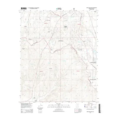
2014 Map of Show Low South
USGS Topo · Published 2014About this map
Show Low sits at a critical junction of the Mogollon Plateau, where high-elevation pine forests meet the volcanic geology of the Malpais Pit. This 2014 survey captures the residential expansion and seasonal recreation infrastructure surrounding the Sitgreaves National Forest. To the southeast, the communities of Pinetop-Lakeside and Lake of the Woods are framed by intricate water management features, including Show Low Lake and a dense network of tanks like Dohner Tank and Scott Tank. The terrain is defined by dramatic drainages such as Forestdale Canyon and Skiddy Canyon, which cut through the plateau towards the White Mountains. Local landmarks like Fools Hollow and Ellsworth Hills illustrate the complex topography that has shaped the growth of these mountain settlements from isolated outposts like Linden into integrated resort and residential hubs.
Find a feature on this map
74 named features on this map. Tap any name to fly to it.
Don’t see what you’re looking for? This feature index may not catch every label — zoom into the map to look around manually.
Map Details
Editions of this 2014 Show Low South Map
This is the sole edition of this map. No revisions or reprints were ever made.
Other maps of this area

1886 · St Johns
USGS Topo · 1:250,000

1886 · Holbrook
USGS Topo · 1:250,000

1892 · St Johns
USGS Topo · 1:250,000

1893 · Holbrook
USGS Topo · 1:250,000

1954 · Holbrook
USGS Topo · 1:250,000

1954 · Saint Johns
USGS Topo · 1:250,000

1957 · Holbrook
USGS Topo · 1:250,000

1957 · Saint Johns
USGS Topo · 1:250,000

1958 · Saint Johns
USGS Topo · 1:250,000

1958 · Holbrook
USGS Topo · 1:250,000