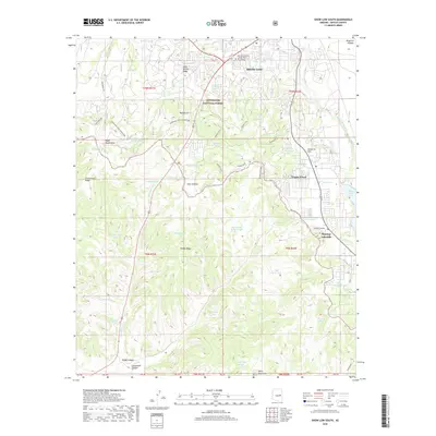
2018 Map of Show Low South
USGS Topo · Published 2018About this map
Sitgreaves National Forest covers much of this high-elevation landscape, where the southern edge of the Show Low community meets the rising terrain of the Mogollon Rim. This 2018 survey documents a region of transition between organized settlements and the wilder geography of the White Mountains. Significant water management is evident throughout the terrain, with dozens of named livestock tanks and springs like Johnnie Tank and Jack Amos Spring scattered across the ridges.
Find a feature on this map
60 named features on this map. Tap any name to fly to it.
Don’t see what you’re looking for? This feature index may not catch every label — zoom into the map to look around manually.
Map Details
Editions of this 2018 Show Low South Map
This is the sole edition of this map. No revisions or reprints were ever made.
Other maps of this area

1886 · St Johns
USGS Topo · 1:250,000

1886 · Holbrook
USGS Topo · 1:250,000

1892 · St Johns
USGS Topo · 1:250,000

1893 · Holbrook
USGS Topo · 1:250,000

1954 · Holbrook
USGS Topo · 1:250,000

1954 · Saint Johns
USGS Topo · 1:250,000

1957 · Holbrook
USGS Topo · 1:250,000

1957 · Saint Johns
USGS Topo · 1:250,000

1958 · Saint Johns
USGS Topo · 1:250,000

1958 · Holbrook
USGS Topo · 1:250,000