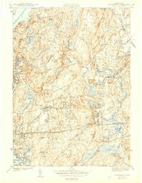
1943 Map of Shrewsbury
USGS Topo · Published 1943About this map
Shrewsbury and the surrounding Worcester County highlands are defined by a complex landscape of glacial hills and managed waters during the early 1940s. The northern reaches are dominated by the Wachusett Reservoir, showing detailed shorelines at Lord Cove and Andrews Harbor. This era represents a significant period of institutional development in the region, with the large campuses of the Masonic Hospital, Worcester Hospital, and Grafton State Hospital occupying prominent positions near the town centers.
Find a feature on this map
113 named features on this map. Tap any name to fly to it.
Don’t see what you’re looking for? This feature index may not catch every label — zoom into the map to look around manually.
Map Details
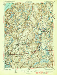
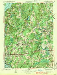
Editions of this 1943 Shrewsbury Map
3 editions found
Other maps of this area

1885 · Worcester
USGS Topo · 1:62,500

1886 · Worcester
USGS Topo · 1:62,500

1886 · Blackstone
USGS Topo · 1:62,500

1887 · Marlboro
USGS Topo · 1:62,500

1889 · Marlboro
USGS Topo · 1:62,500

1889 · Blackstone
USGS Topo · 1:62,500

1889 · Webster
USGS Topo · 1:62,500

1892 · Webster
USGS Topo · 1:62,500

1892 · Worcester
USGS Topo · 1:62,500

1893 · Blackstone
USGS Topo · 1:62,500