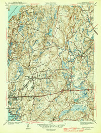
1943 Map of Shrewsbury
USGS Topo · Published 1943About this map
The hills and reservoir lands of central Massachusetts are meticulously charted here shortly before the mid-century, centering on Shrewsbury and Northboro. The landscape is characterized by a dense network of high points like Rawson Hill and Ghost Hill, interspersed with water bodies such as the Wachusett Reservoir and Lake Quinsigamond. This 1941 survey captures a period of institutional presence in the region, clearly marking the Grafton State Hospital, Masonic Hospital, and Worcester Hospital. Transport infrastructure is well-defined, showing the paths of the Boston and Albany RR and the Boston and Maine RR alongside major thoroughfares like the Worcester Turnpike and Boston Post Rd. This era shows a transition where traditional farming communities were increasingly integrated into the regional healthcare and transit networks of the Worcester area.
Find a feature on this map
76 named features on this map. Tap any name to fly to it.
Don’t see what you’re looking for? This feature index may not catch every label — zoom into the map to look around manually.
Map Details
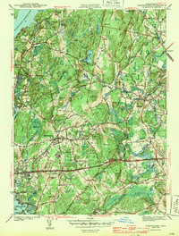
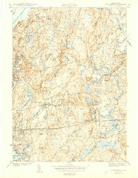
Editions of this 1943 Shrewsbury Map
3 editions found
Other maps of this area

1885 · Worcester
USGS Topo · 1:62,500

1886 · Worcester
USGS Topo · 1:62,500

1886 · Blackstone
USGS Topo · 1:62,500

1887 · Marlboro
USGS Topo · 1:62,500

1889 · Marlboro
USGS Topo · 1:62,500

1889 · Blackstone
USGS Topo · 1:62,500

1889 · Webster
USGS Topo · 1:62,500

1892 · Webster
USGS Topo · 1:62,500

1892 · Worcester
USGS Topo · 1:62,500

1893 · Blackstone
USGS Topo · 1:62,500